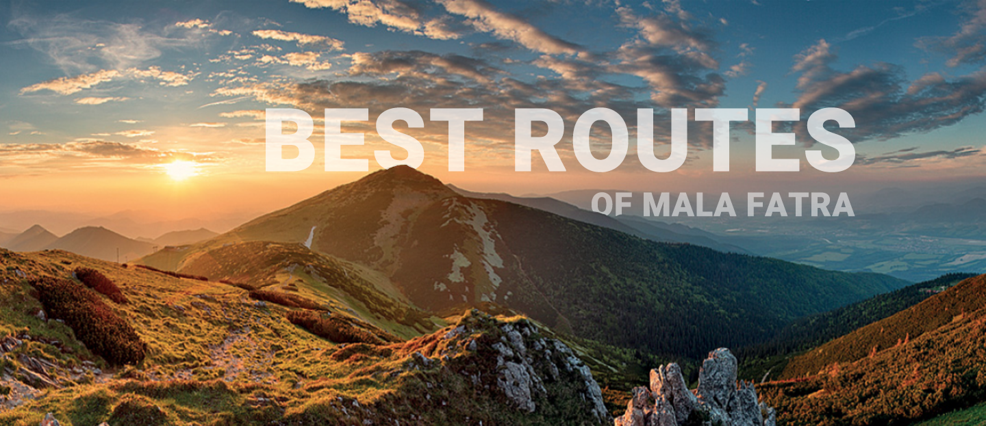

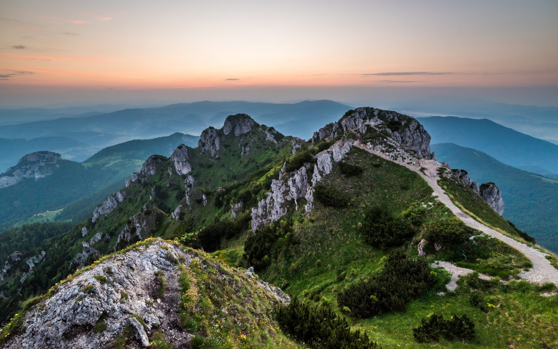
Distance: 16,3 km
Elevation: 1567 m
Time: 7:30 h
Štefanová is a small village at the north of Slovakia but it has a lot of beautiful places to visit. Hike to the Veľký Rozsutec is one of them. You have to climb into the mountain saddle of Medziholie and from there you can choose which peak you will climb first. All three peaks have beautiful panoramic views to the different valleys and each one is specific with something else. You can stop for some refreshment on your way back in one of the restaurants at the very beggining of the route.
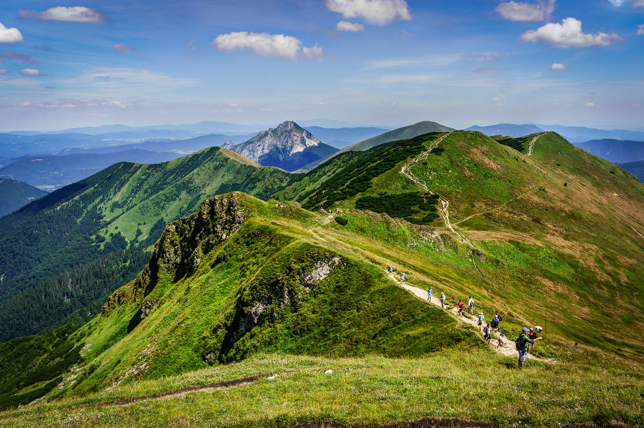
Distance: 18,9 km
Elevation: 1377 m
Time: 7:30 h
Very beautiful hike with panoramic views from almost very beginning of the route. Hike is specific with its very steep climb at the start, but later it will turn into fantastic ridge hike with spectacular view. You can stop along the way for some refreshment or even a spend a night at Chata pod Chlebom or take a near cableway to the village of Trstená. Chata pod Chlebom and also cableway are opened thru the whole summer season. For more info try to contact the owners via the website you can find online.
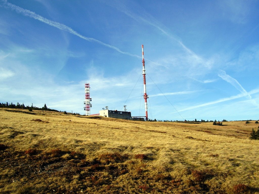
Distance: 20,4 km
Elevation: 1051 m
Time: 7:20 h
Most of this hike goes thru a road to the Martinky Ski Center and you can’t see much. But it will be worth at the end. When you will walk out of the forest you will be rewarded by the beautiful round view. You can also take a car to the Ski Center of Martinky and do a short walk thru the peaks which is also very suitable for kids and you can spend a very pleasant day with your family here. Couple fo restaurants in Ski Center will provide you with much needed refreshment. Or you can stop at the chalet right under the peak of Krížava which will provide you with panoramic view and ice cold beer.
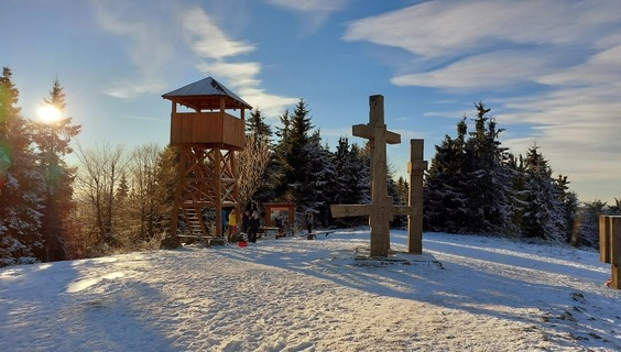
Distance: 30,4 km
Elevation: 1492 m
Time: 11:20 h
This route demands the most walking and although it doesn’t lead to the highest peaks of Mala Fatra mountains it is one of the most difficult routes up there. You have to be very careful on the way up and also on the way down because terrain is very unstable. However, most of this hike leads thru the ridge and you will enjoy a lot of panoramic views to the multiple valleys. You can also stop at the memorial place Tri Kríže showed at the picture.
All routes listed here were created by me and i personally walked thru all of them. You can use them for inspiration or customize them to fit your goals or fitness levels. I recommend to use this website: mapy.cz which is by my opinion one of the best and most accurate apps for hiking available in this area. App is for free and you can also download the maps to use them later offline.